How Far Is Hoskote from Whitefield?

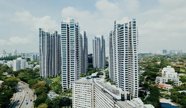
Featured Image of How Far Is Hoskote from Whitefield?


Hoskote is about 15.2 km by road from Whitefield when Whitefield Post Office and Hoskote town are used as the fixed points. The shortest direct route runs through Kadugodi and Whitefield–Hoskote Road, which forms part of SH 35. A route planner gives about 14 minutes by car in clear traffic, while a direct BMTC bus from Whitefield Post Office to Hosakote High School takes about 37 minutes.

The distance becomes shorter if the trip starts from the Kadugodi side of Whitefield. Whitefield (Kadugodi) Metro Station to Hoskote is about 12.5 km by road, and a direct bus from Kadugodi Bridge takes about 29 minutes. This is why Whitefield–Hoskote travel is better measured from a fixed starting point instead of using one distance for the whole Whitefield area.


Whitefield to Hoskote Distance at a Glance


Whitefield is a large locality, so the distance changes by a few kilometres based on where the trip begins. Core Whitefield is farther from Hoskote than Kadugodi. For this page, Whitefield Post Office is the main starting point, while Hoskote town is the destination.

Here is the travel time and distance summary from Whitefield to Hoskote formatted as a table:

Whitefield to Hoskote Travel Details

Starting Point Destination Road Distance Public Transport Time
Whitefield Post Office Hoskote 15.2 km ~37 mins by bus
Whitefield (Kadugodi) Metro Hoskote 12.5 km ~29 mins by bus
Whitefield Railway Station Hoskote 13.9 km Direct bus available from Kadugodi Bridge

The Whitefield Railway Station side is about 13.9 km by road from Hoskote. This places much of eastern Whitefield within roughly 12 to 15 km of Hoskote, but the exact distance should always be measured from the actual home, office or project.

Whitefield to Hoskote Directions


The most direct road route from Whitefield to Hoskote is through Kadugodi and SH 35. SH 35 runs through Whitefield, Kadugodi and Hoskote before meeting NH 75 at Hoskote. This creates a direct eastbound road connection without the need to travel towards central Bangalore.

A simple route is:

Whitefield → Hope Farm → Kadugodi → Whitefield–Hoskote Road → Hoskote

Whitefield–Hoskote Road also passes through the growing eastern belt around Seegehalli, Kadugodi, Kannamangala and nearby residential areas before reaching the Hoskote side.

Whitefield to Hoskote Travel Time by Car


The mapped road distance from Whitefield to Hoskote is 15.2 km. A route planner gives a drive time of about 14 minutes when roads are clear. That figure should be treated as a low-traffic estimate because Whitefield road conditions can change quickly during office hours.

The main slow points can be around Whitefield and Kadugodi before the road opens towards Hoskote. Hope Farm is one such junction. A ₹35 crore, 300-metre underpass is under construction there in 2026 to improve movement between Whitefield and Kadugodi.

Whitefield to Hoskote Bus


There is a direct BMTC bus connection between Whitefield and Hoskote. From Whitefield Post Office, buses run to the Hosakote High School side. The direct trip takes about 37 minutes, and current journey data shows services at roughly 15-minute intervals.

Kadugodi gives an even shorter bus trip. From Kadugodi Bridge to Hosakote High School, the distance is about 13 km and the journey takes about 29 to 31 minutes. This makes Kadugodi an important bus point for people travelling between Whitefield and Hoskote.

Whitefield Metro Station to Hoskote


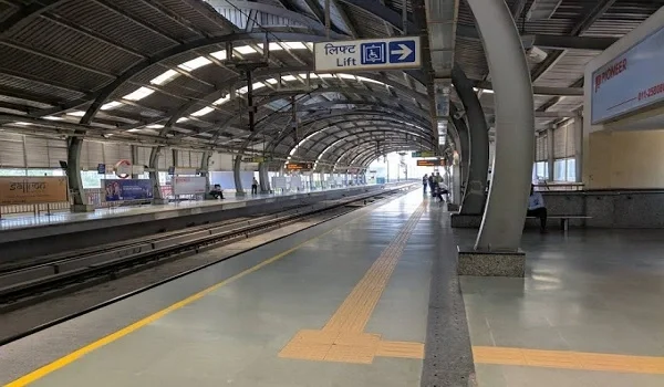
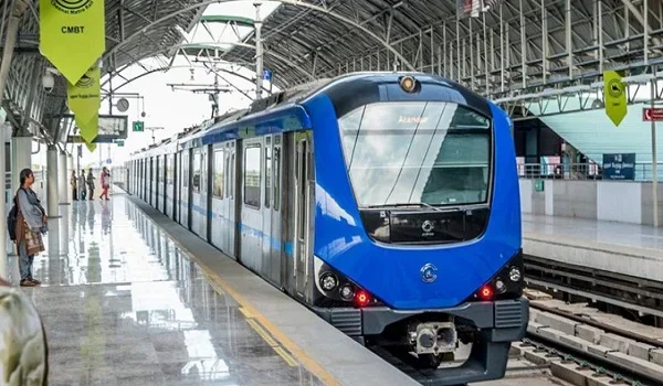
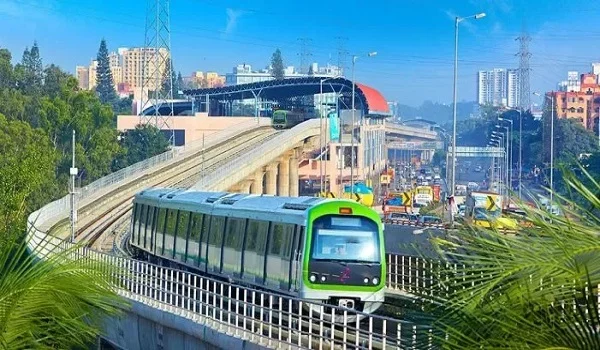
There is no operating metro service from Whitefield to Hoskote as of August 2026. The Purple Line currently ends at Whitefield (Kadugodi). A passenger going to Hoskote can take the Purple Line to Whitefield and continue by bus, cab or private vehicle.

From Whitefield (Kadugodi) Metro Station, Hoskote is about 12.5 km by road. A direct bus from the nearby Kadugodi Bridge takes about 29 minutes. This metro-plus-road option is useful for passengers coming from MG Road, Indiranagar, KR Puram or other Purple Line areas.

Why Whitefield and Hoskote Are Closely Connected


Whitefield and Hoskote are separate real estate markets, but SH 35 directly connects them. Whitefield provides a large IT and office base, while Hoskote connects the eastern side with NH 75 and other regional roads. SH 35 itself runs from the Hoskote side through Kadugodi and Whitefield before continuing south towards Varthur and Sarjapur.

This direct road has also created a growing housing belt between the two locations. Seegehalli, Kannamangala, Sannatammanahalli and other pockets along the corridor now have apartments, schools, shops and large new residential developments.

Whitefield to Hoskote Road for Daily Travel


The 15.2 km Whitefield–Hoskote distance is short enough for regular road travel, but the actual daily experience depends on the starting point. Someone living near Kadugodi has a shorter trip than a person starting near the western side of Whitefield.

Kadugodi Metro to Hoskote is only 12.5 km, while Whitefield Post Office to Hoskote is 15.2 km. This difference matters for office workers. A home on the eastern Whitefield side can reduce the road distance while still giving access to the Purple Line and Whitefield Railway Station.

Whitefield to Hoskote via Whitefield–Hoskote Road


Whitefield–Hoskote Road is the most useful corridor for this trip because it directly joins the two areas. It connects Whitefield with Kadugodi, Seegehalli and the Hoskote side, and eventually reaches the Bengaluru–Tirupati highway network near Hoskote.

For someone travelling from central Whitefield, there is usually little reason to move west towards KR Puram first and then return east on NH 75. The Kadugodi–Hoskote side gives the more direct alignment. The exact route can still change based on the starting street and live traffic.

Hoskote to Whitefield Distance


The return journey from Hoskote to Whitefield is also about 15 km by road. Current journey data gives a direct BMTC bus from Hosakote Bus Station to Whitefield Post Office, with a trip time of about 42 minutes.

For Kadugodi, the journey is shorter. Hoskote to Whitefield (Kadugodi) Metro Station is about 12.3 km by road, and the direct bus to Kadugodi Bridge takes around 32 minutes. This makes the Kadugodi side the closest major Whitefield transport hub for Hoskote commuters.

Brigade Granada Between Whitefield and Hoskote


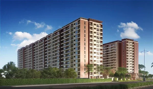
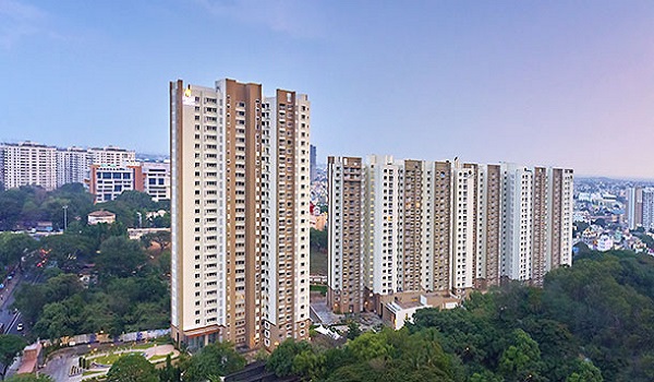
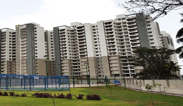
Brigade Granada is well placed for buyers who need access to both Whitefield and Hoskote. The township is at Sannatammanahalli on the Whitefield–Hoskote Road corridor. Whitefield is about 9.3 km from the project, while Hoskote town is about 5.9 km away.

The project is also about 6.1 km from Whitefield Railway Station and 8.4 km from Kadugodi Tree Park Metro Station. NH 75 is only about 750 metres away. This gives residents road access towards Hoskote while keeping Whitefield's rail, metro and IT belt within reach.

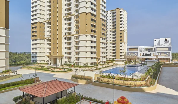
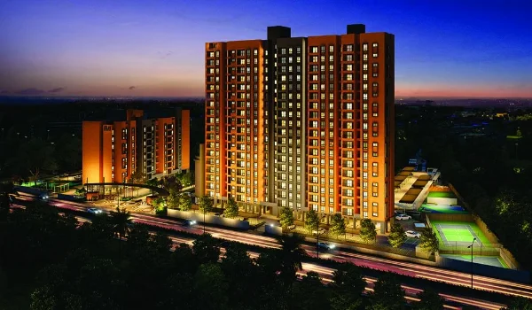
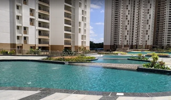
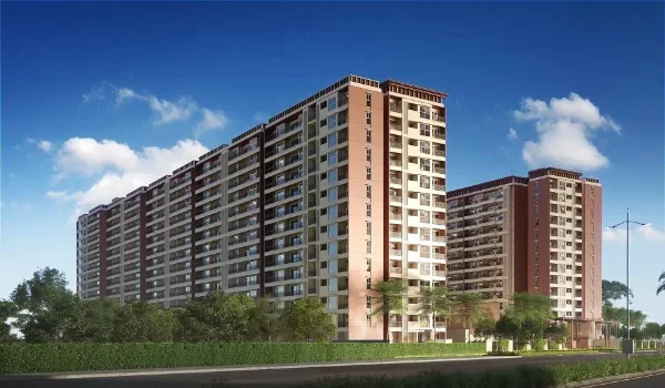
Brigade Granada itself is planned across 40+ acres, with residential towers rising up to 55 floors. It offers 1, 2, 3 and 4 BHK homes from about 600 to 2,800 sq. ft. The larger mixed-use plan also includes a 35-floor office tower, hotel, retail, school and hospital. Its location between the Whitefield employment belt and Hoskote is therefore one of its main practical advantages.

Is Hoskote Close to Whitefield?


Yes. Hoskote is close to Whitefield. The road distance from Whitefield Post Office to Hoskote is only 15.2 km. From Whitefield (Kadugodi) Metro Station, it falls to about 12.5 km.

The direct SH 35 connection is the main reason the two locations work as one eastern travel corridor. Residents can also use direct BMTC buses, while passengers coming from other parts of Bangalore can take the Purple Line to Whitefield and complete the remaining trip by road.

Brigade Granada Blog


Enquiry
Enquire Now